The Strait of Otranto
The narrowest crossing, why it has carried traffic for millennia, and what a channel this width does to two coasts that can see each other.
The crossing
What actually moved — grain, salt, timber, people — and the seasons that governed when a small boat could attempt it.
Butrint
A Greek then Roman then Venetian site on a channel between lake and sea, with each period building on the last and the water slowly taking it back.
Twenty-nine entries, eight sections
Every entry is a named place, located, dated by period rather than year, and described as built fabric.
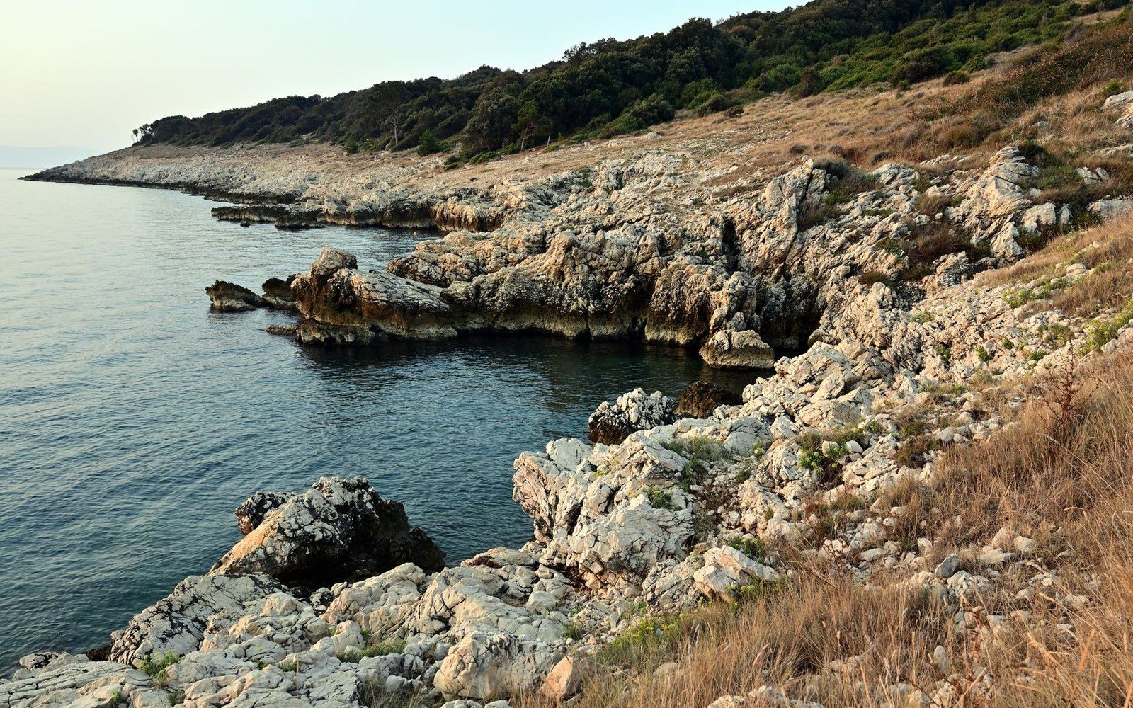
The channel is shallow by Mediterranean standards. The sill between Karaburun and the heel of Italy holds the Adriatic's water at a depth a Roman hull could sound, which is part of why the crossing was made so early and so often.
Two coasts that can see each other
On clear winter days the Ceraunian mountains are visible from Puglia. Everything in this register sits on one shore or the other, and most of it was built by people who knew what was on the far side.
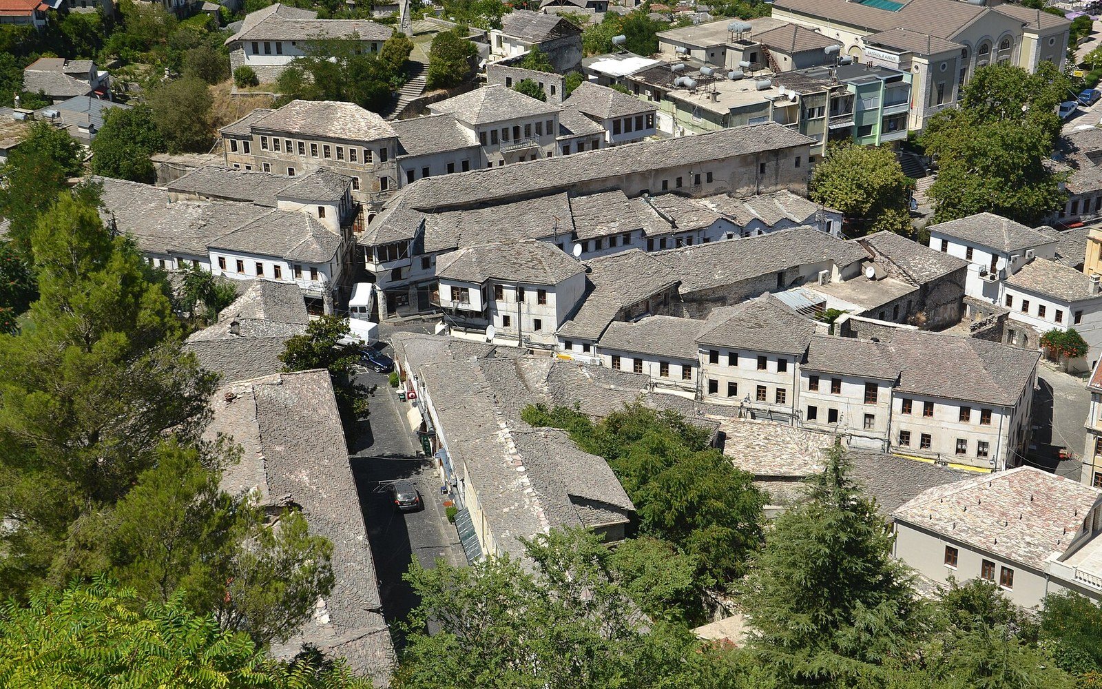
Fifty towns in the south of Italy speak a language that left the far shore five hundred years ago.
The settlements date mostly from the decades after 1468, when the Ottoman advance through the Albanian lands sent families across the water in waves. Naples granted land; the villages went up on poor ground in the Pollino, the Crati valley and the hills west of Palermo. Most follow the Byzantine rite under the eparchies of Lungro and Piana degli Albanesi.