Porto Palermo
A triangular artillery fort on a tied island closes one of the southern Adriatic's deepest natural anchorages.
- Entry
- D.1
- Where
- Bay of Himarë
- Period
- Ottoman, on earlier work
- Section
- Towers of the Coast
01The bay and the island
The bay of Porto Palermo cuts into the Albanian Riviera south of Himara, sheltered on three sides by the flanks of the Çika range. The water is deep close to shore and the entrance is narrow — two conditions that made the anchorage useful to oared galleys and, later, to larger sailing vessels waiting out the bora or the sirocco on the open Adriatic. A small island sits at the southern lip of the bay, connected to the mainland by two sand tomboli — low, double bars of beach — forming what geographers call a tied island, or tombolo. The bars are narrow enough that a wall built across each one closes the anchorage entirely to anything entering on foot or horseback, while a fortress on the island itself commands the sea approaches on both sides.
The siting is not accidental. Whoever holds the island holds the bay.
- Early nineteenth centuryfort built under Ali Pasha of Ioannina, probably first decade after 1800
- Mid-nineteenth century onwardstrategic function dissolved with changing naval technology and political conditions
02The fortress
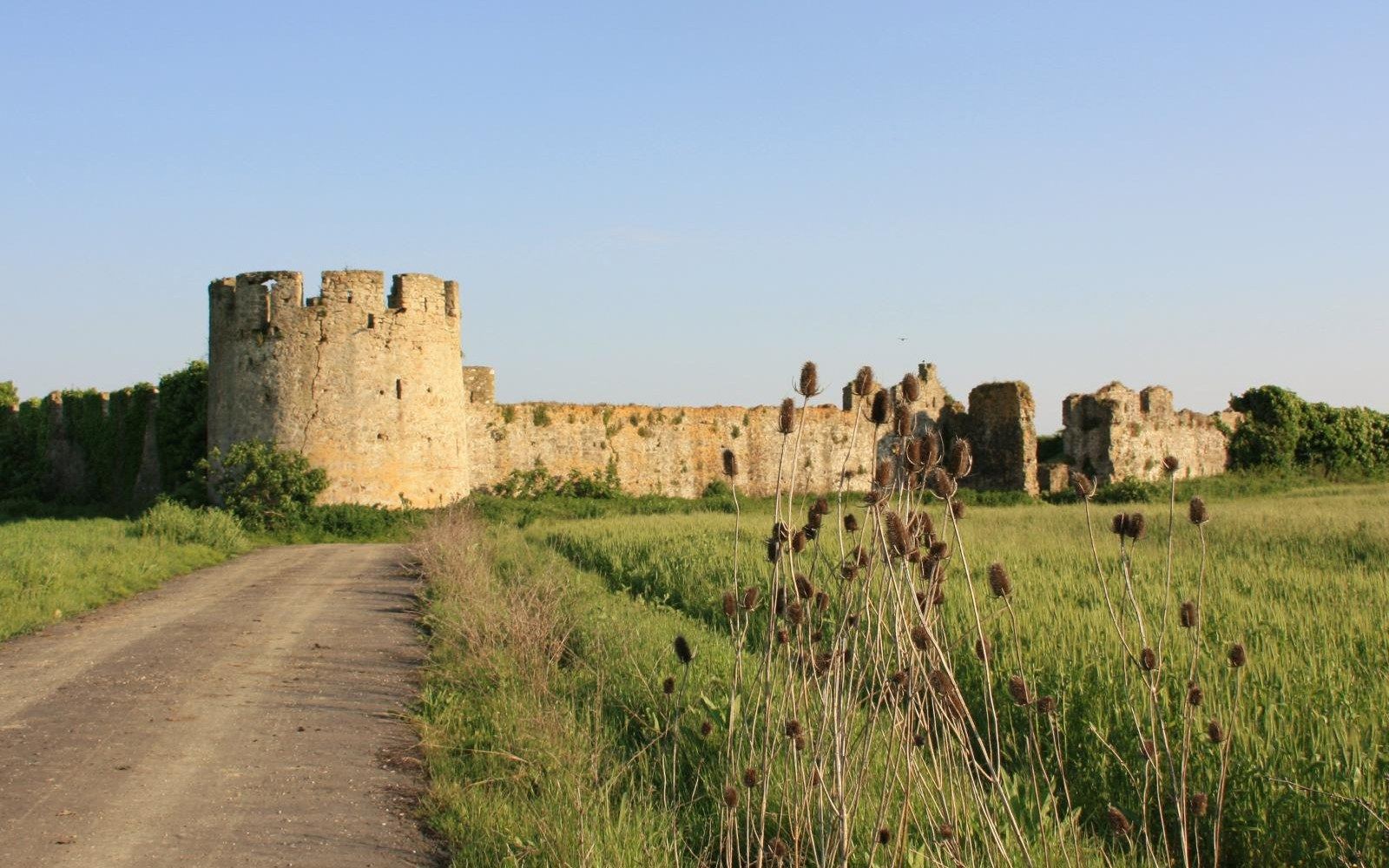
The fort that stands there now is Ali Pasha of Ioannina's work, completed in the early nineteenth century — probably in the first decade after 1800, during the period when Ali Pasha was consolidating his authority over the Epirus coast and its offshore waters. The plan is a triangle, one form pressed upon garrison architects by the transition from walls designed to resist escalade to bastions designed to deflect and return cannon fire. Each of the three corners carries a rounded tower, and the walls between them are thick enough to absorb shot rather than shatter under it. The masonry is roughly coursed stone with lime mortar, functional and without ornamental detail; this is military building at its most compressed.
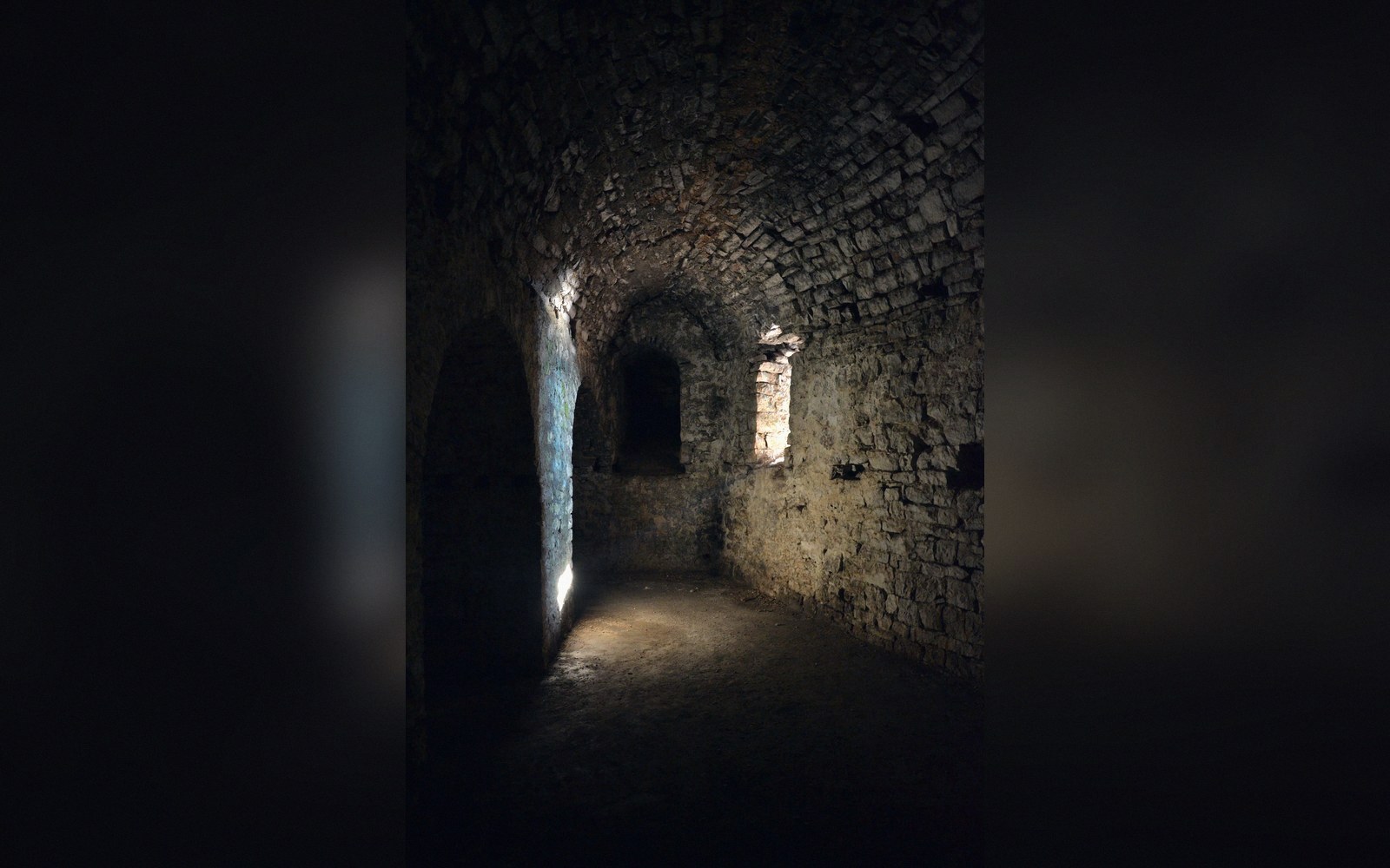
The entrance faces the mainland side, reached by crossing the tombolo bars. From within, the courtyard is small and the interior spaces are utilitarian — stores, a cistern, accommodation pressed against the curtain walls. A small Ottoman-period mosque stood inside the enclosure, as was conventional in forts of this type and period; only traces remain. The whole structure is compact, designed for a garrison rather than a command post, and adapted to the specific job of closing a bay rather than holding a hilltop or a river crossing.
What distinguishes Porto Palermo from comparable coastal works is the precision of the match between site and form. A triangular fort on a triangular island, oriented so that each face covers a distinct arc of water, is not a design imposed on a convenient location — it is a design that could only work in this location.
03Artillery and anchorage
The fort's function was to make the anchorage defensible from the sea. Deep bays on this coast were used by corsairs, by trading vessels seeking shelter, and by warring fleets looking for a position from which to sortie or resupply. Controlling such a bay meant controlling the toll and the passage: a ship entering without consent passed under guns it could not avoid. The three towers allowed overlapping fields of fire across the mouth, and the walls of the tombolo bars — lower and lighter, now largely gone — would have prevented a landing party from rushing the island from the beach.
By the mid-nineteenth century, the strategic logic that built the fort had largely dissolved. Steam reduced the dependence on sheltered anchorages, the political structures that gave Ali Pasha his autonomy were gone, and the Adriatic's military geography had shifted north. The fort fell out of active use and into a series of secondary occupations that left their marks on the fabric without substantially altering the plan. The triangular outline, the three towers, and the relationship between island, bars, and bay are all still legible — a clean piece of thinking in stone, locked into a site that required exactly that shape of answer.
- Tied island (tombolo)
- island connected to mainland by two sand bars; bars plus fort walls close the anchorage
- Triangular plan
- one corner tower per face; each face covers a distinct arc of water
- Rounded corner towers
- designed to deflect cannon shot rather than present flat surfaces to it
- Curtain walls
- thick enough to absorb shot; no ornamental detail